
Nottinghamshire County Council has applied to build up to 550 homes, a secondary school and eight traveller plots east of Gamston. Comments close on 9 December.
Nottinghamshire County Council has applied to Rushcliffe Borough Council to build up to 550 homes on its own land east of Gamston. The plan also sets aside land for a secondary school, a traveller site and 12.3 hectares of business units.
Residents can comment until Wednesday 9 December.
The outline application is 26/01891/OUT. It was received on 3 November and validated on 4 November. The county council is the applicant; Pegasus Group is its agent. Every document quoted below is on the application’s Documents tab. Some links only open after you have visited the application page.
It is the third application for the land between Gamston and Tollerton. The other two are still undecided:
- 20/03244/OUT, Taylor Wimpey and Rockspring Barwood, up to 2,250 homes (our report on National Highways’ three-month hold)
- 24/00347/HYBRID, Vistry Homes, on the former Tollerton airfield, with a first phase of 380 homes in its latest description
Together the three would bring up to 4,400 homes, the figure the county’s consultants used for their traffic and technical work.
What the county council wants to build
The site is about 60.88 hectares, mostly farmland, between the A52 and Tollerton Lane. About 4.5 hectares is part of the former airfield. The application’s environmental statement sets out what would go where:
| Use | Land | What it allows |
|---|---|---|
| Homes | about 16 ha | up to 550, 30% affordable, up to 12m high |
| Business units | about 12.3 ha | industrial, storage and distribution, and offices, up to 13.5m high |
| Secondary school | about 8.14 ha | land for a four-form-entry school with a sixth form |
| Traveller site | about 0.6 ha | a minimum of 8 plots |
| Open space | about 12.46 ha | sports pitches, play areas, allotments, parks and drainage ponds |
(Environmental Statement non-technical summary, section 6)
At 30%, up to 165 of the 550 homes would be affordable. The application gives land for a school, not a promise that one will be built; who builds it and when is not set out.
Only the two road accesses are fixed now: a new junction on the A52 on the western edge, and one on Tollerton Lane to the north-east. Layout, housing design and landscaping would come later, in further applications.
The A52 and the bridge
The plan shows a possible location for a walking and cycling bridge over the A52. A strip of land west of the A52 is in the red line to land it.
The environmental statement says the wider allocation is “likely to include”:
- new signal-controlled junctions on the A52
- upgrades to the A52 junctions with Tollerton Lane and Ambleside
- sections of A52 dualling
- lower speed limits
- traffic calming on Tollerton Lane, with monitoring to discourage rat-running through nearby villages
It also names possible park and ride and bus improvements, paid for through developer contributions.
The transport assessment found that “most roads within the study area have sufficient capacity to accommodate future growth”. That is the developers’ consultants’ view. National Highways, which runs the A52, has not yet commented on this application. On the 2,250-home plan it asked Rushcliffe in October not to approve anything for three months while it waited for more traffic evidence.
Radiation readings near the mobile home park
Because part of the site was an RAF airfield, it was surveyed for radium-226 as well as unexploded ordnance and ground gas. The radiological surveys found two small areas with elevated radiation readings, close to the boundary with the neighbouring mobile home park.
The environmental statement says further checks found the areas “extremely limited in extent”. It says they would be kept as landscaped open space, not housing, and would be verified and cleaned up “where required”. The same chapter records localised fuel and coal tar residues from the airfield. No significant widespread contamination was found.
Hedgerows, birds and the pillboxes
The planning statement says the scheme would remove about 1.9km of hedgerow and some trees for the accesses and the bridge. Farmland birds that nest on open arable fields would lose habitat permanently. The environmental statement rates that “minor adverse” at a local level.
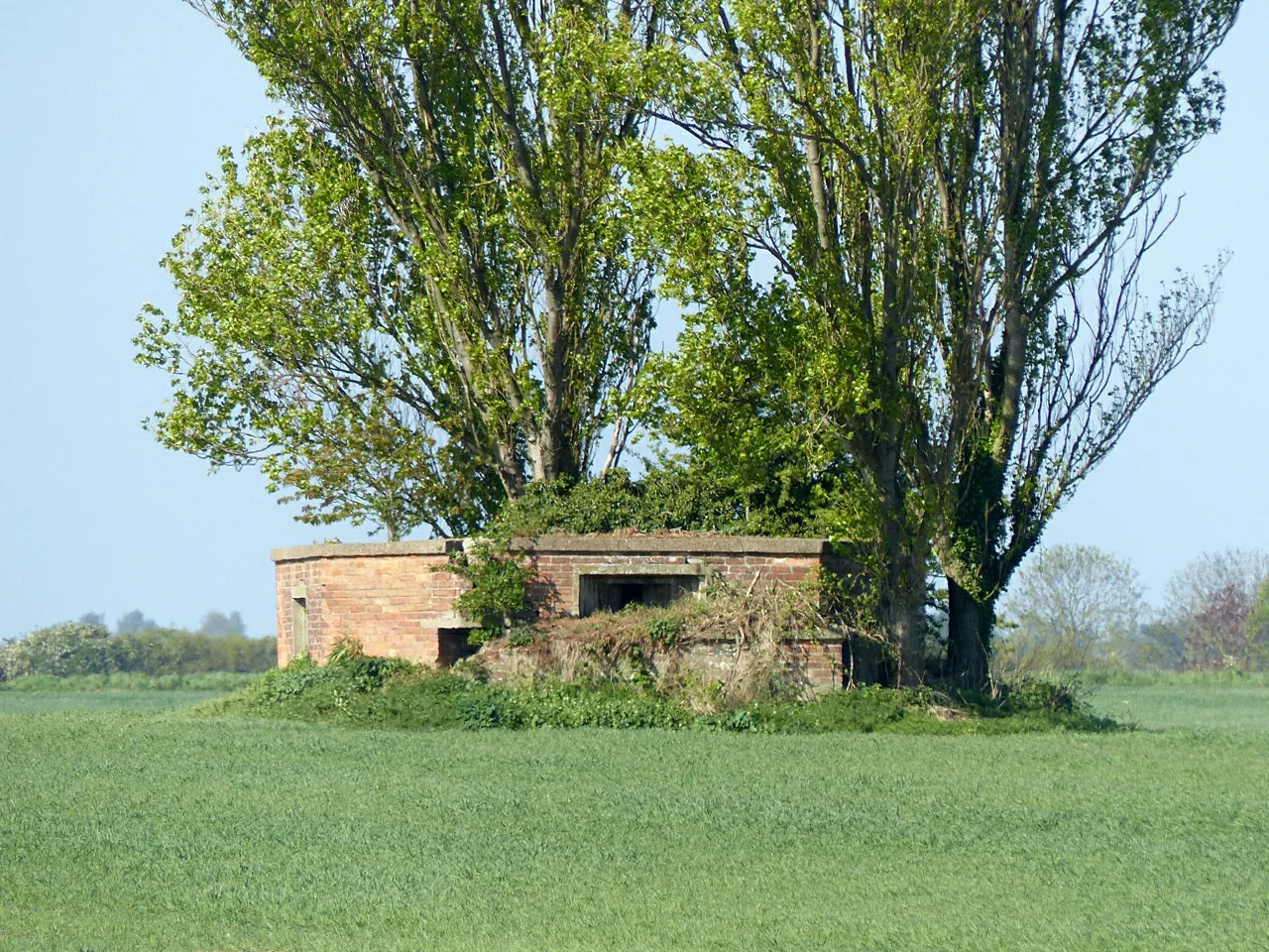
Two of the airfield’s 17 Grade II listed Second World War pillboxes are inside the site. Both would be kept in public open space. (Environmental Statement non-technical summary)
Jobs and money
The planning statement’s own estimates are:
- about 250 jobs a year during an eleven-year build
- 906 full-time jobs on the business land once it is occupied
- 53 jobs at the secondary school
- about £1.45m a year in council tax from the 550 homes
What it means for you
If you live in Gamston, Tollerton or along the A52, this is the time to say what you think. Comments made now are on record when the plan reaches a decision.
- Comment by Wednesday 9 December on the application page, quoting 26/01891/OUT.
- The council’s target date for a decision is 3 February 2027. No committee date has been set.
- The case officer is Paul Taylor.
Have your say