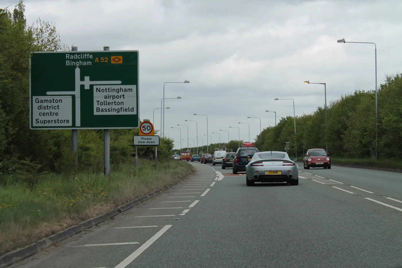

The 2,250-home Gamston plan now includes a bridge over the A52, and three footpath crossings of the road would close. The county flood team objects. Comments close 17 October.
The developers behind 2,250 homes east of Gamston have added a walking and cycling bridge over the A52 to their plans. The bridge would replace one of the footpaths that now cross the dual carriageway on foot, and two more of those crossings would be closed.
The amended plans went in on 15 and 16 September. Since then, Nottinghamshire County Council’s flood team has objected and recommended refusal. Sport England still says it cannot support the scheme.
Comments on the amended plans can be made until Saturday 17 October.
What has changed
The application, 20/03244/OUT, was registered in December 2020. It is an outline plan by Taylor Wimpey UK and Rockspring Barwood Gamston Limited for land east of Gamston and north of Tollerton. Every document quoted below is on the application’s Documents tab; some links only open after you have visited the application page.
Their agent, Savills, wrote to the council on 14 September to say the plans had changed and the site boundary now includes land the council owns. (Savills letter, 14 September 2026)
The application still covers:
- up to 2,250 homes
- a two-form-entry primary school on a 2.38 hectare site
- a local centre of 0.33 hectares
- open space, allotments, sports pitches and play areas
- a primary electrical substation
- road access from the A52 and Tollerton Lane
The September environmental statement addendum says the main change is the bridge. The red line has been widened to take in the bridge on the west of the site and a route “connecting the Site with Gamston District Centre and onward towards West Bridgford via Beckside”. (ES Addendum Non-Technical Summary, September 2026)
The bridge
The transport assessment addendum describes three design options, all still under discussion with the county council and Rushcliffe Borough Council.
- Deck: 4 metres wide, shared by people walking, wheeling and cycling.
- Parapets: railings 2.2 metres high are “anticipated”, subject to agreement.
- Option 1 lands on the off-road path east of Lings Bar Hospital and runs on to the Ambleside junction with the A52. That path would be widened to 4 metres.
- Options 2 and 3 land on council-owned land on the existing public footpath west of the A52. Option 2 crosses the road straight; Option 3 has a shorter span with a switchback ramp on each side.
The path between Lings Bar Hospital and the cul-de-sacs north of Thirlmere would be widened and lit. The bridge would be built under a section 278 highways agreement. (Transport Assessment Addendum, August 2026)
The developers also propose signal-controlled crossings for pedestrians and cyclists at a new four-arm roundabout with Ambleside, which they say gives a direct route towards the Morrisons supermarket.
Three A52 footpath crossings would close
The same document lists seven places where public paths meet the A52 between the Gamston and Wheatcroft roundabouts. Some of them cross the dual carriageway itself, using steps in the verge. The plan for the first five is:
| Crossing | Proposal |
|---|---|
| Gamston footpath 7 | Close; remove the western steps; fence the central reservation; divert to signal crossings to the north and south |
| Bassingfield Lane toucan crossing | Upgrade so horse riders can use it too |
| Grantham Canal towpath | Close; remove the eastern steps; fence the central reservation; divert to signal crossings |
| Tollerton footpath 6 | Close and remove the steps; replaced by the new bridge |
| Tollerton bridleway 5 | Stays open, with no changes, after talks with National Highways |
The document says any change to these paths would need separate modification orders from Nottinghamshire County Council. That is a legal process with its own chance to object.
Who has responded since September
The council reopened consultation on 17 September. These are the responses filed so far.
- Nottinghamshire County Council, as lead local flood authority, objects. Its letter of 25 September says surface water drainage information is insufficient, and it recommends refusal until more is supplied. That includes a proven outfall from the site and a design that copes with a 1 in 100 year storm plus 40% for climate change. In December 2023 the same team raised no objection, subject to conditions. (NCC flood risk response, 25 September 2026)
- Sport England “remains unable to support the application”. Its letter of 7 October says the plans still do not show enough indoor and outdoor sport provision for the new residents, and no off-site contributions have been offered. (Sport England, 7 October 2026)
- The Environment Agency does not object, provided a condition keeps all building out of flood zones 2 and 3. It asks that no land is raised for the sports pitches, because the drainage strategy says they could see more flood risk after development. (Environment Agency, 9 October 2026)
- Rushcliffe’s emergency planning officer notes that a 2020 desk study gave the site an explosive ordnance risk rating of “Medium”, and advises that its recommended mitigation is carried out. A disused high-pressure pipeline also crosses the site. (Emergency planning officer, 2 October 2026)
- Councillor Jonathan Wheeler, the Conservative borough councillor for Gamston, says he continues to object. He says there is “still no co-ordinated highways plan”. On the bridge, he says its height would leave residents with “a lack of privacy due to those crossing on the bridge”, and it “needs re-designing”. (Cllr Wheeler’s comment, 6 October 2026)
- East Midlands Airport’s aerodrome safeguarding team has no objection. (Aerodrome safeguarding, 1 October 2026)
The bigger site
This application is only part of the East of Gamston and North of Tollerton allocation. Policy 25 of Rushcliffe’s 2014 Core Strategy allocates up to 4,000 homes there, with 20 hectares of employment land.
The rest is on Tollerton Airfield, in a separate hybrid application by Vistry Group, 24/00347/HYBRID. That seeks full permission for a first phase of 380 homes and outline permission for the remainder, which also includes an active travel bridge over the A52.
What it means for you
- If you live off Thirlmere, Ambleside or Lings Bar Road, the bridge options land close to you. The drawings are in the transport assessment addendum on the planning file.
- If you walk or ride across the A52 on the Gamston footpath, the canal towpath or the Tollerton footpath, those crossings would close if this is approved and the path orders follow.
- To comment, use the comment button on the application page. The council’s consultation period ends on Saturday 17 October and the site notice on Sunday 18 October.
No committee date has been published. We will report when one is. Other big local applications are on our West Bridgford planning news page, and A52 closures are on our roadworks page.
Have your say